Copyright © 2023 «Automation of business processes» LLC, OGRN:1069847106218 INN: 7811342833
Certificate of state registration of computer programs №2019619750.
The GIS-ABP 1.0 geographic information system is included in the Unified Register of Russian Programs for Electronic Computers and Databases by Order of the Ministry of Communications of the Russian Federation No. 162 of 04/07/2020. Registry number 6430.
Functionality: display and editing of spatial vector data, filtering and searching, execution of calculations and analytical commands.
GIS-ABP was created on the basis of domestic-developed software modules, does not contain software components of foreign GIS and Open Source solutions. GIS-ABP works with data files of its own format. Foreign DBMS and data access components are not used.
System requirements for the computer to install the program: Microsoft Windows operating system, .Net Framework 4.6.1, Internet Information Services (IIS).
GIS-ABP works with data files of its own format. Each such file is simultaneously a data file, a map legend layer, a settings file, and a spatial index. The set of data files displayed on the GIS-ABP map is stored in the file system folder. In order to move part of the data, for example, to another computer, simply copy several data files from one folder to another. Data is accessed, either using the GIS-ABP application, or through a program interface (API) implemented as a .Net class library.
The GIS-ABP application can work both in direct data connection mode and in client-server application mode. The server uses the WCF Web service, which is based on the Microsoft Internet Information Services (IIS) Web server.
The mechanism for developing additional functionality that extends the capabilities of GIS-ABP is implemented in the form of embedded C # class libraries. The GIS-ABP programming interface, providing access to data, settings and application functionality, is a set of .Net classes arranged in a single hierarchical tree. This class structure provides a convenient way to interact with large amounts of information using Language Integrated Query (LINQ). In each class of the GIS-ABP software interface, the Update () and Delete () methods are implemented, when called, the object data in the data file is automatically updated or deleted. Also, a mechanism is implemented in the GIS-ABP programming interface that allows you to edit data in a long-term transaction mode.
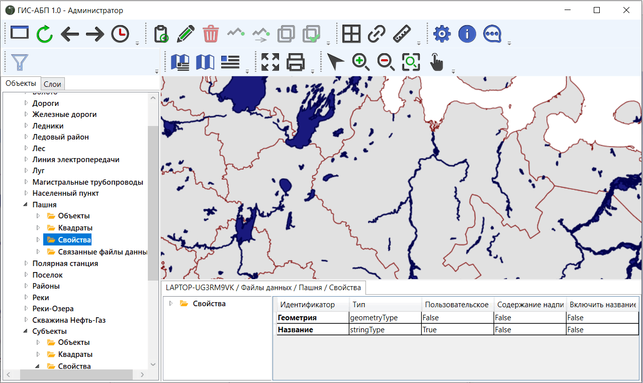
The object tree located on the left side of the GIS-ABP application window reproduces the hierarchical structure of the GIS-ABP class library. Moving through the nodes of the tree, you can create new data files (layers) and edit their properties, edit the spatial and attribute information of objects located in the data file, and call embedded commands.
The map located on the right side of the application allows you to display and edit spatial data. The spatial index implemented in data files provides high speed display of large volumes of spatial information.